What’s in a Name?
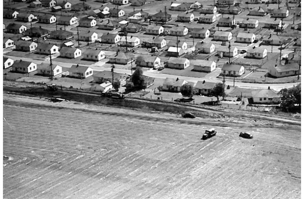 Rufener Farm with adjacent Fruit Valley, 1950s
 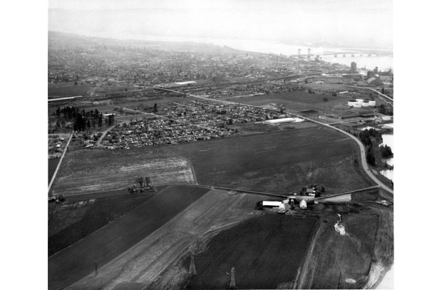 Rufener Farm looking toward Fruit Valley neighborhood, 1965
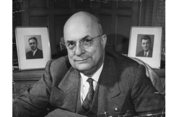 Henry Kaiser of the Kaiser Shipbuilding Company


Ever wondered how roads, neighborhoods and other areas in Vancouver got their names? Here’s a fun list of some streets surrounding the Port of Vancouver and what they’re named after!
Fourth Plain Boulevard—To identify several plains extending back from the Columbia River, the Hudson’s Bay Company gave them names, such as First, Second, Third and Fourth. These were openings in the forest which the company used for grazing or cultivation.
Fruit Valley Road–Because of the large number of orchard trees planted in this neighborhood in the late 1800s, residents named the area Fruit Valley. During World War II, Vancouver Housing Authority constructed a housing project here for Kaiser Shipyard employees.
Lower River Road— “Lower” refers to the road’s location along the Columbia River. Lower River Road was originally an extension of Eighth Street running west through the port area to the southwest side of Vancouver Lake, and was prone to flooding. Today, Lower River Road, is included as part of State Route 501, helping connect the port to Interstate 5, the major north/south freight corridor on the West Coast.
Mill Plain Boulevard—Fort Vancouver historian John A. Hussey wrote that the Hudson’s Bay Company cultivated 1,000 acres of grain on Mill Plain, which was near a grist mill and saw mill.
« See all stories