Sustainability First
May 4, 1904 – The United States began work on the Panama Canal, and on this day in 2011, the Columbia River Wetland Mitigation Bank was opened for business.
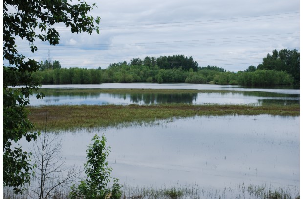
The Port of Vancouver USA’s wetland mitigation bank is located on land north of Lower River Road, a portion of the area previously known as Rufener Farm.
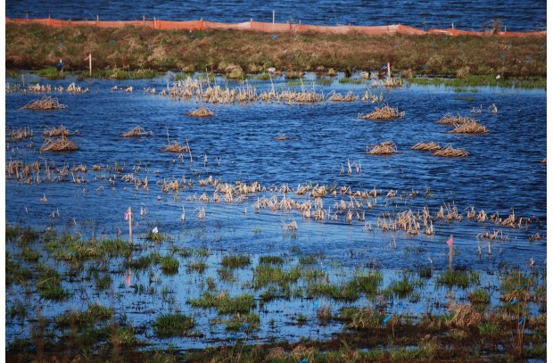
The 154-acre wetland bank at the Port of Vancouver will be used to compensate for development of wetlands in a service area that extends along the Columbia River between Bonneville Dam and the City of Longview, such as the West Vancouver Freight Access Project.
In May of last year, the U.S. Army Corps of Engineers and the Washington State Department of Ecology released more than eight wetland bank credits for sale to developers, agencies, and the public as compensatory wetland mitigation.
With the completion of permitting and certification, the wetland mitigation bank began construction during summer 2011. The construction of more than 25 acres of new wetlands, enhancement of 18 acres of floodplain and of more than 78 acres of existing wetlands allowed for enriched song bird and other wildlife habitat on the site. Additional improvements will occur in spring 2013.
As planting on the project continues, so does the port’s mission of providing economic benefit to the community while respecting the natural areas surrounding the port.
« See all stories


